Consider it the Olympic Games of geological science.

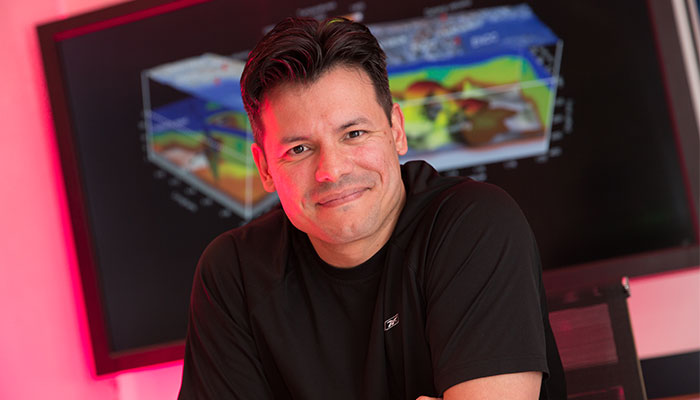
Rock star: Professor Juan Carlos Afonso is being applauded by scholars and industry for his outstanding work developing a new way of mapping the Earth's interior.
Every four years, the International Union of Geodesy and Geophysics acknowledges no more than 10 early career academics for their outstanding contributions to the discipline and the wider scientific community.
There are no quotas for which countries might be represented – it is a best of the best scenario.
Late last year, Professor Juan Carlos Afonso, Head of Macquarie University’s Department of Earth and Planetary Sciences, was named among the latest recipients, becoming the first Australian academic to achieve the honour since its inception in 2013. Professor Afonso will receive his award at a special ceremony in Canada in July.
What earned Professor Afonso his place on the dais?
That would be developing a revolutionary method to more accurately map the interior of the Earth, known as the “LitMod approach”.
It presents a major technological challenge that will definitely keep me and my team entertained for years to come, but we think its possible
Ordinarily, an Earth scientist will measure one aspect of Earth’s interior at a time – seismic activity, electromagnetic field, gravity field, and so on.
Consider these data sets as speaking different languages. They each make sense individually, but are not intelligible when combined.
“In the end, all these different parameters are used as proxies to try to understand what the internal constitution of the planet is,” Professor Afonso explains.
“But the only way to really do that in a robust way, is by combining all these independent disciplines into a single framework. And that framework is the LitMod approach.”
Scaling a scientific challenge
Some of Professor Afonso’s colleagues were cynical at first, thinking the challenge of combining such diverse data sets would prove too complex.
An early piece of research using the method to map part of the Colorado Plateau in the United States proved pivotal.
“We didn't know the area well, but we had the data and we applied the method. When the paper was published, there were a lot of emails from people who were very familiar with the area, saying ‘Look, what you presented fits perfectly with this independent information that we have’. That was very good because we had several different disciplines validating the results.”
Then came the endorsement of one of the world’s largest oil and energy companies – Norway’s Equinor (formerly known as Statoil).
“Statoil sent us the results that they had predicted with my method, and the results that came back after drilling were basically one-to-one.”
Being able to image the distribution of this motion is very revealing, as it gives you an idea of where you're going to have volcanoes and where you're going to have seismic activity.
Using data to find diamonds
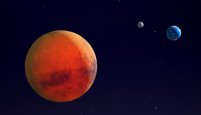
Numerous resources companies including leading diamond company De Beers are now applying the LitMod approach. The European Space Agency endorsed its use to image not only the Earth, but also the Moon. Could Mars be next?

Ground breaking: Professor Afonso believes the new mapping method will be a boon to natural resources exploration and the energy sector as well as diamond companies such as De Beers.
Professor Afonso says the power of the methodology is that it unlocks details that previously had been impossible to record.
Take for example the upper mantle, the layer of hot rock that sits beneath the crust and the deeper lower mantle of the Earth. The LitMod method means scientists can visualise not only the internal temperature, pressure and composition of this region, but also how the mantle moves, and the patterns it makes while doing so.
“Being able to image the distribution of this motion is very revealing, as it gives you an idea of where you're going to have volcanoes, where you're going to have seismic activity, and so on. That small-scale distribution of motion – it was basically impossible to image before.”
Mapping the final frontier
Having proved that his theory works, Professor Afonso’s next challenge is to apply it on an unprecedented scale and map the Earth’s interior in its entirety.
- How finding the fine print could slash your grocery bills
- First accurate map fo the Milky Way reveals a warped galaxy
“What we can currently do on a regional scale – to visualise details of the temperature, of the composition, of the pressure, of the motions inside the planet, now you're going to have that at a global scale.
“For understanding seismic risk, volcanic risks, and for finding deposits of natural resources and the energy sector in general, this is going to be fantastic. It would mark the first time that we will have maps of these fields at the resolution we need, for the entire globe.
“It presents a major technological challenge that will definitely keep me and my team entertained for years to come, but we think it's possible.”


